| Name | 100km Gravel Permanent -- Beaver Lake (#5425) |
|---|---|
| Info | BC Populaire 103km |
| Start Date | March 2, 2024, 8 a.m. |
| Ended | March 2, 2024, 2:52 p.m. |
| Region | BC Randonneurs CC - Vancouver Island (011611) |
| Start | Beaver Lake Filter Beds -- 726 Beaver Lake Road |
| Route | Beaches and Stream Grando (103km) |
| Climbing | Nonem (0ft) |
- Control Card (144.4 KB)
- Route Sheet (29.6 KB)
- GPX (GPS File) (250.6 KB)
| Fast, Willi | |
| Fowler, Fred | |
| *Hirschbold, Markus | |
| *Payten, Mark |
- Conditions: The weather was as expected for early March (5-8deg C), with a small amount of rain.
Results
| Member | Time | Bicycle Class | Sortable time |
|---|---|---|---|
| Ainsworth, James | 5:05* | Single | 18300 |
| Carr, Michele | ??:??* | Single | 999999997 |
| Fairweather, Nicholas | DNS* | Single | 999999995 |
| Fast, Willi | ??:??* VP | Single | 999999997 |
| Fingler, Patrick | 6:51* | Single | 24660 |
| Fowler, Fred | 6:57* VP | Single | 25020 |
| Galley, Luke | 6:39* | Single | 23940 |
| Hirschbold, Markus | 6:57* VP | Single | 25020 |
| Hoft, Samantha | ??:??* | Single | 999999997 |
| Hossack, Étienne | 6:40* | Single | 24000 |
| Keen, Derek | ??:??* | Single | 999999997 |
| LeBlanc, Julie | 6:20* | Single | 22800 |
| Lee, Justin | ??:??* | Single | 999999997 |
| Mann, Alex | 5:20* | Single | 19200 |
| Martin, Andrew | DNS* | Single | 999999995 |
| McArthur, Amanda | 7:41* | Single | 27660 |
| Morano, Maria | 6:20* | Single | 22800 |
| Sanderson, Lynn | 7:41* | Single | 27660 |
| Smith, Peter | ??:??* | Single | 999999997 |
| Srinivasan, Sharath | 6:40* | Single | 24000 |
Important Notice!
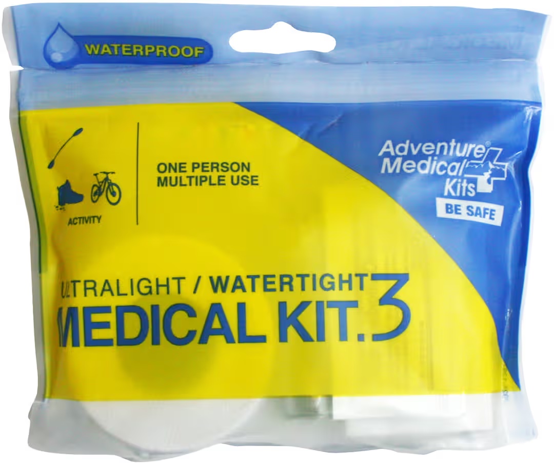
Personal First Aid kits are a ride requirement for all rides this year! https://www.randonneurs.bc.ca/Resources/misc/mini-medical-kit.jpeg
Beaches & Stream is a 100km gravel route highlighting some well known and some lesser known beaches around Victoria. All controls but one are at a beach. According to RideWithGPS, the route only has 34% of gravel (by distance) with 707m of elevation gain. Sounds pretty straight forward, right? But don't be misled. The actual time spent on gravel is closer to 60%, and the climbing is about 1500m.
You will most likely be averaging about 6km/h less than on a typical road ride. The first 62km are relatively gentle, with some intermixed road and gravel sections. After that the gravel gets a bit more "gravely". Expect to spend over an hour to conquer the next 15km. As a reward you will get a fast downhill after the Hartland parking lot and go past the Red Barn Market on West Saanich Road for a well deserved lunch stop. Finally, the last 24km to the finish line will lead you through a couple challenging little climbs.
A bike computer or navigation app (like RideWithGPS) is recommended for this ride. It can be difficult to navigate the turns on trails with only a cue sheet.
You should consider using at least 35mm gravel tires. Doing this ride with smooth road tires is not recommended.
Navigational hints:
1. Take a look at the right turn onto a trail at km 58.9. This one is difficult to find. It looks like someone's driveway. But, look down the driveway, and you will see the white plastic trail marker.
2. The control at Eagles Lake is through the gate on the west side of the composting toilet and down to the lake.
We had fun during the pre-ride. Make sure to keep some fuel in the tank for the 2nd half of the ride, since it is more challenging than the first half.